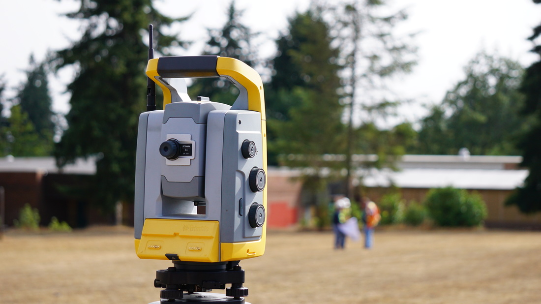
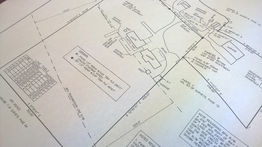
Survey

  ZENOVIC & ASSOCIATES
  • Home
  • About
    • Team
    • Clients
    • Projects
  • Services
    • Civil Engineering
    • Structural Engineering
    • Additional Services
  • Contact
    • Employment Opportunities

Survey


Picture

Boundary Analysis

 Determines the record boundaries of your land

Record of Survey

An official map (18 x 26) that is reviewed and recorded by the County
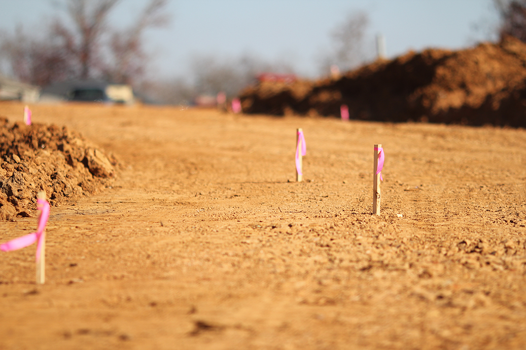
Picture
Picture

Construction Staking

Interpreting construction plans and marking the location of proposed new structures such as roads or buildings

Line Posting

A survey line that is measured, marked, and calculated by the surveyor
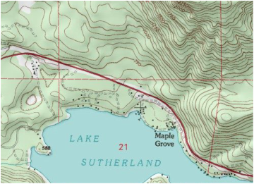
Picture
Picture

Topographic Mapping

A type of map characterized by large-scale detail and quantitative representation to show both natural and man-made features

Elevation Certificates

Used to certify building elevations if the building is located in a Special Flood Hazard Area
Picture
Proudly powered by Weebly
  • Home
  • About
    • Team
    • Clients
    • Projects
  • Services
    • Civil Engineering
    • Structural Engineering
    • Additional Services
  • Contact
    • Employment Opportunities